Thursday, 17 June 2004
SVS Day One (Edno) - Sofia to Popovov - 359km (223mi)
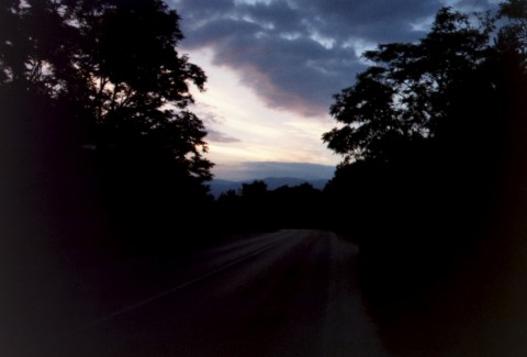
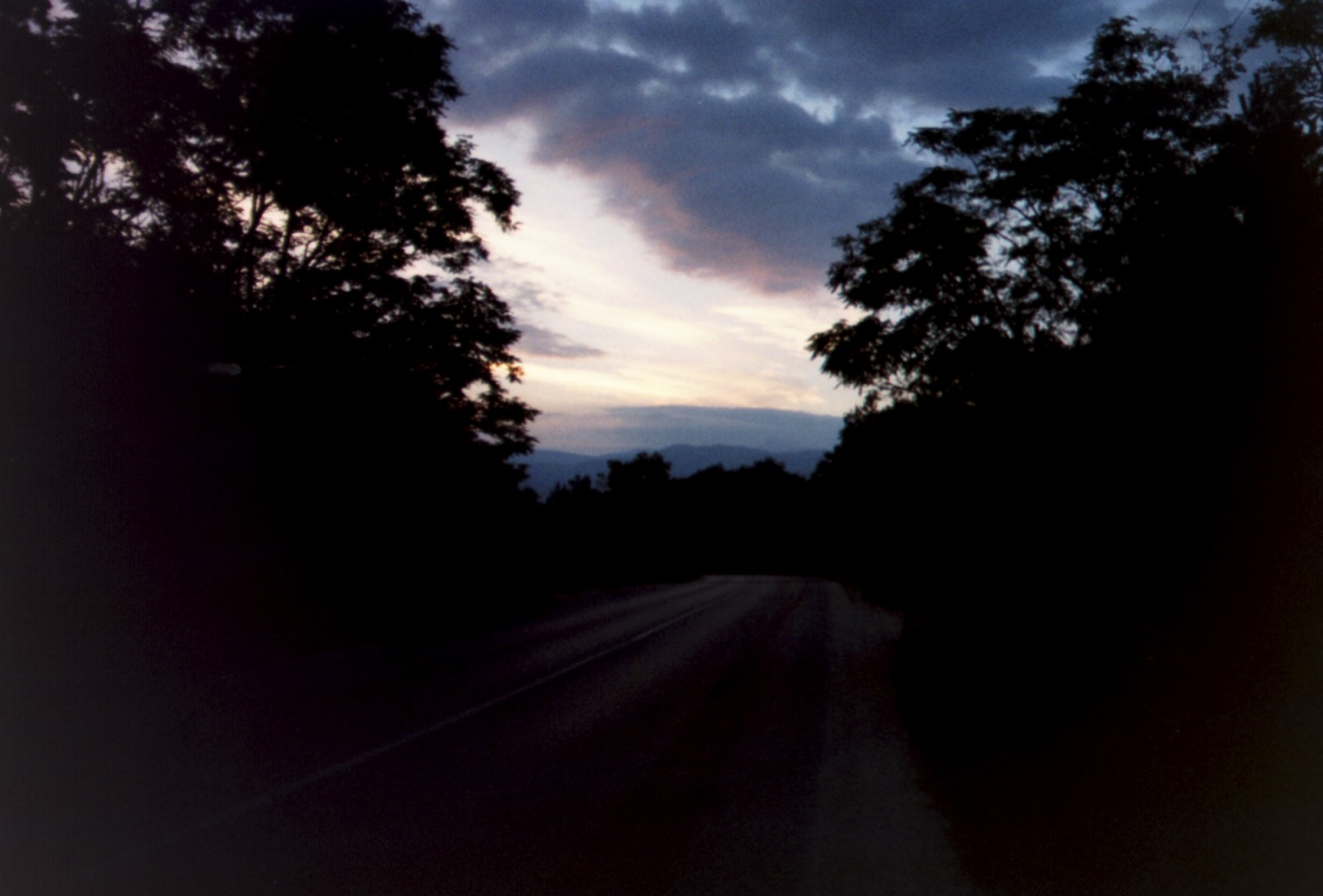
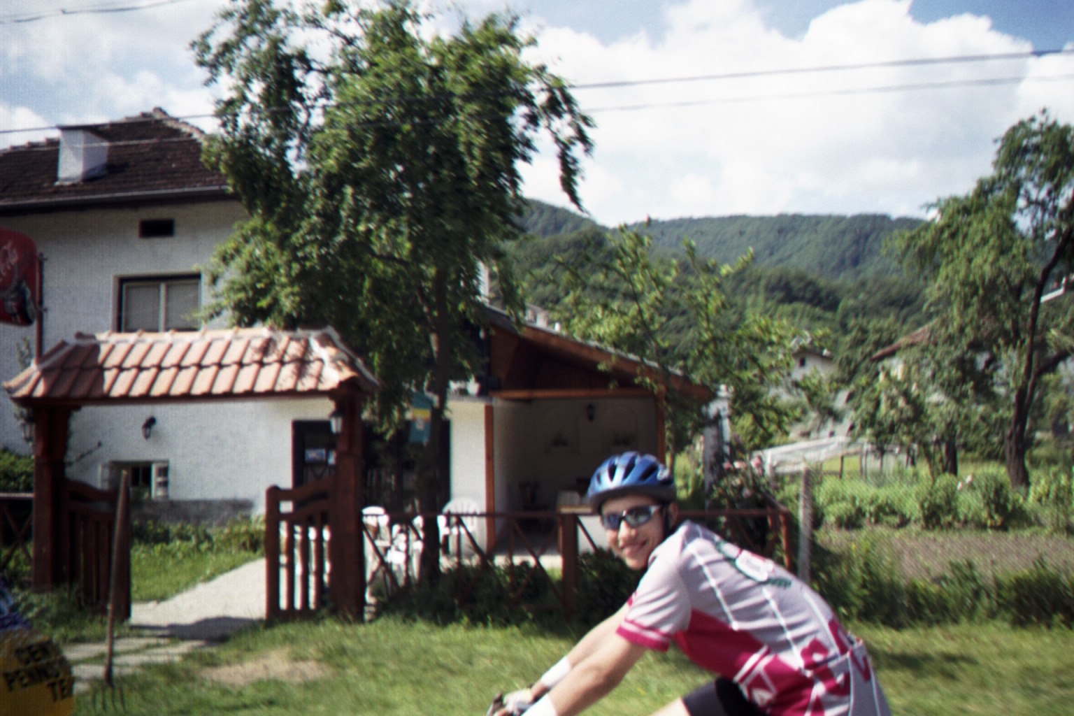
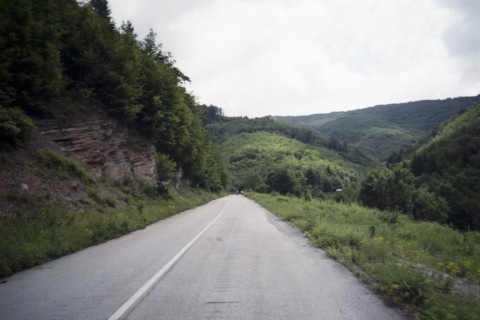
Dawn breaking on Day One of SVS-2004 As we head east from Sofia.
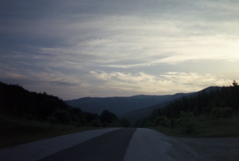
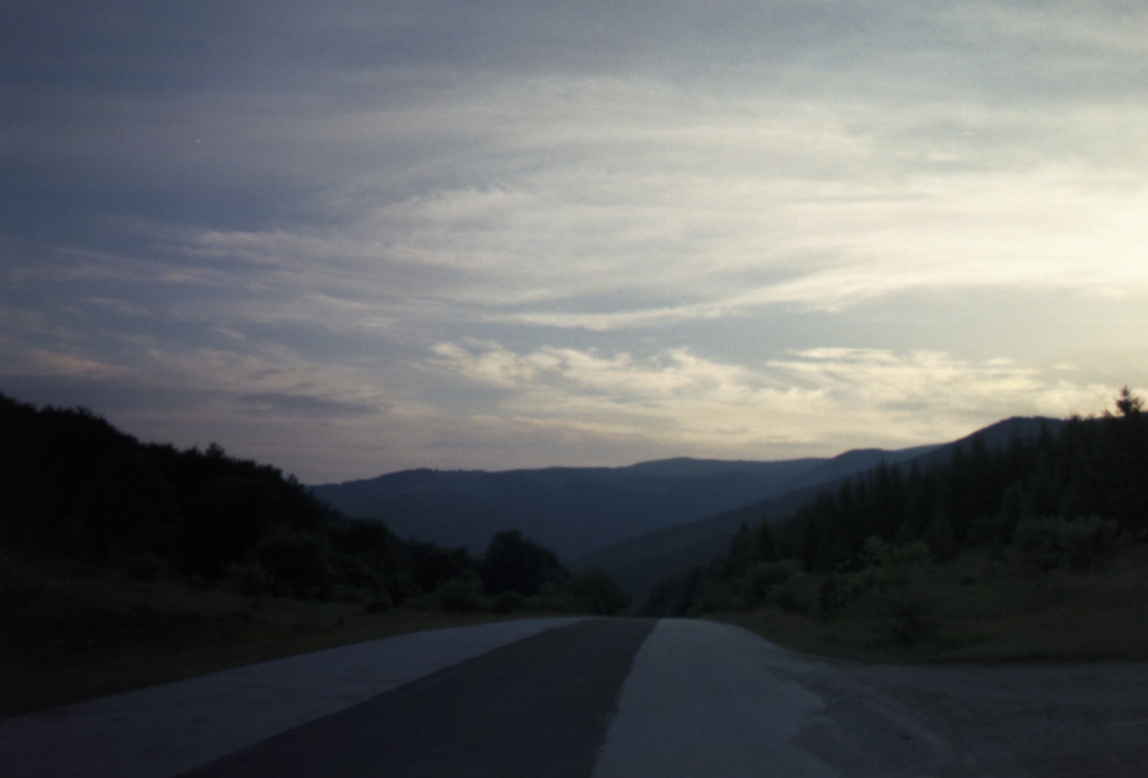
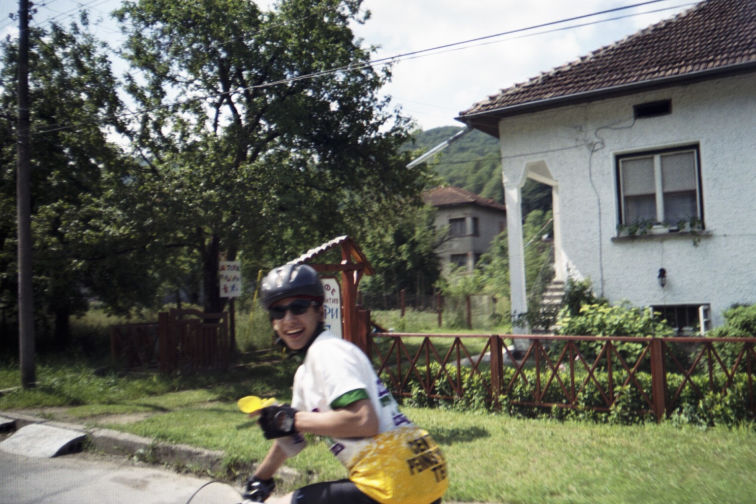
Early morning descent.

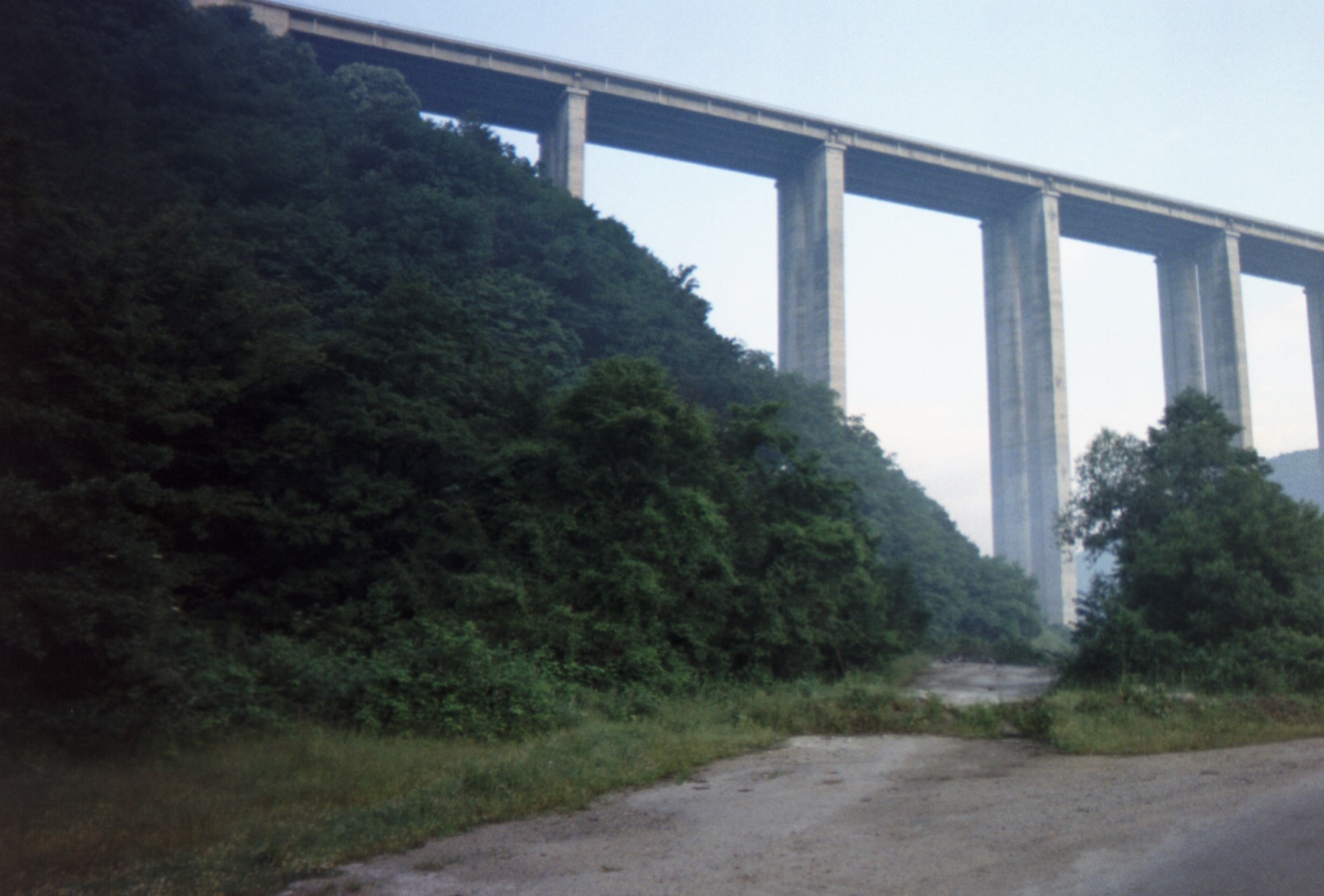
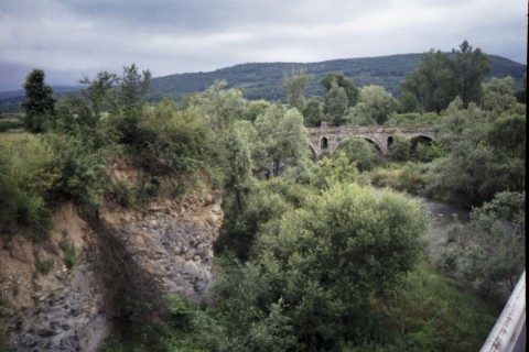
The Viaduct
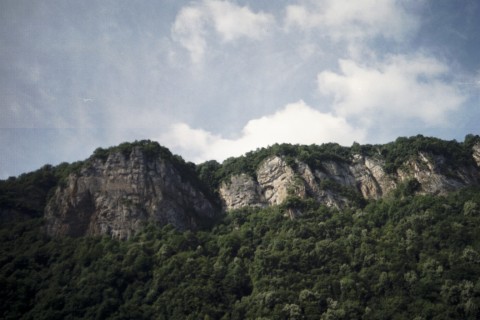
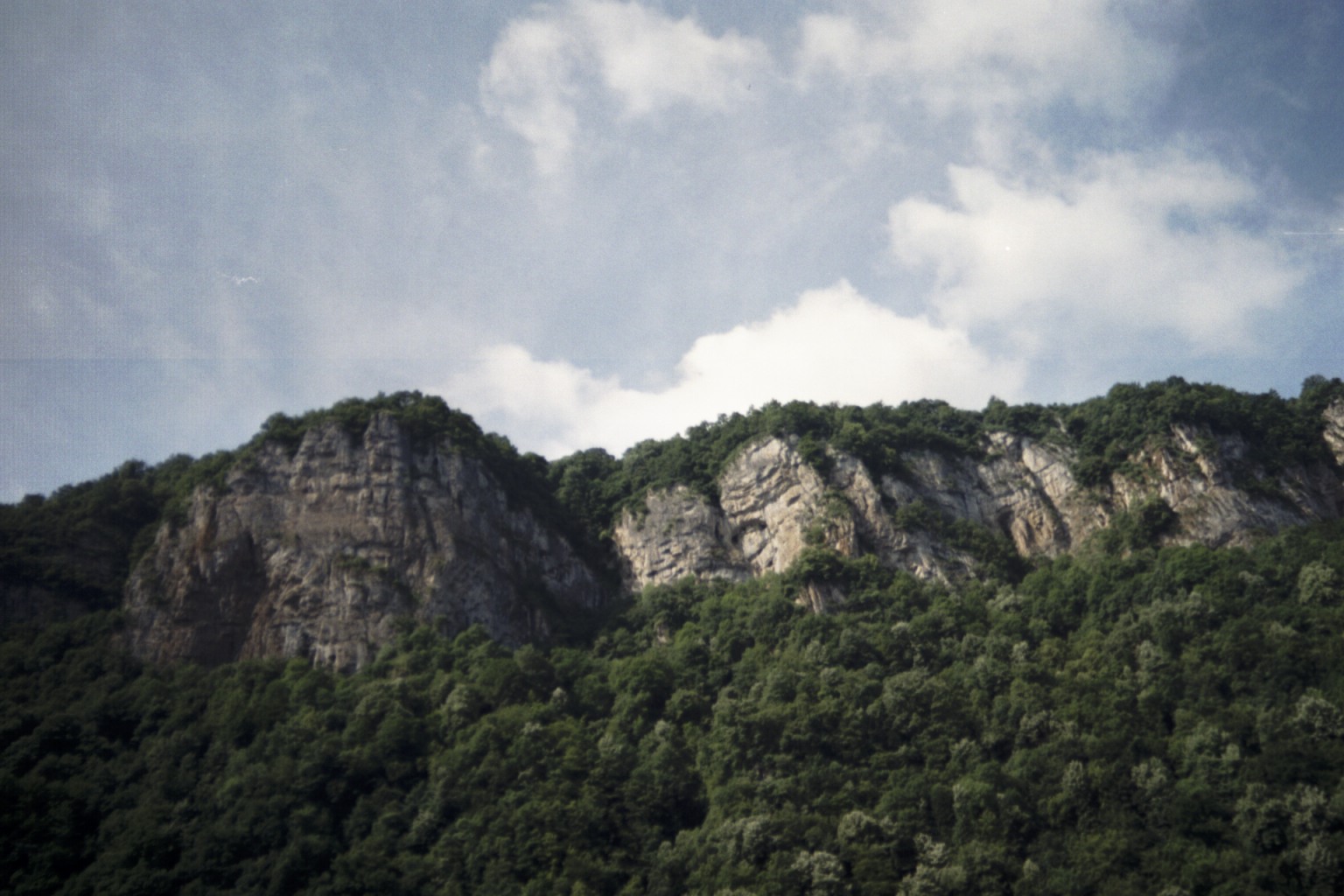
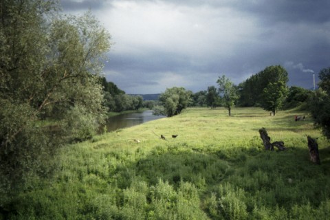
Cliffs
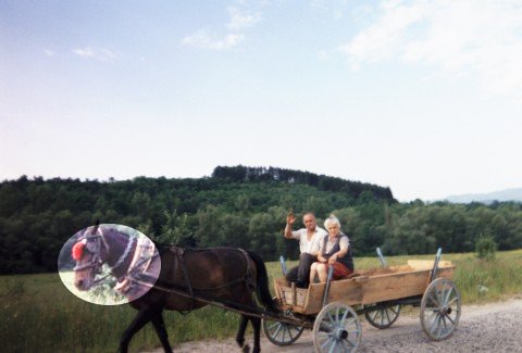
Note the traditional red pom-pom on the horse's forehead.
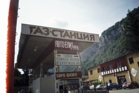
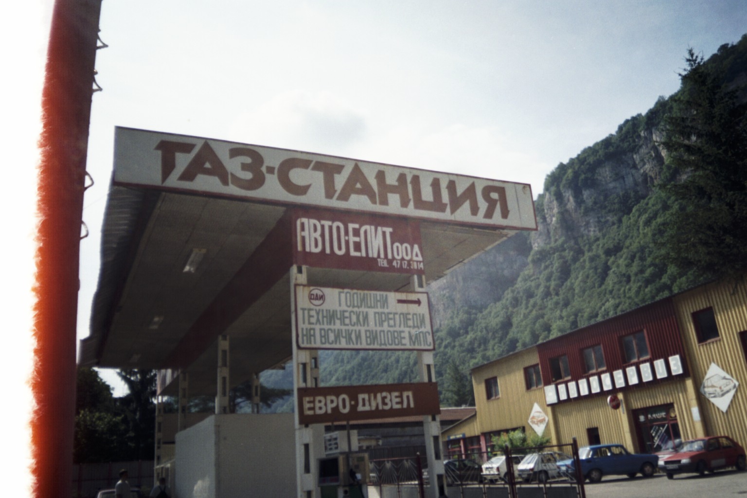
If you learn Cyrillic, you can read "Gas-Station" ("ГАЗ-СТАНЦИЯ") on the sign, get a hint how they pronounce it and see that they have Diesel (ДИЗЕЛ)

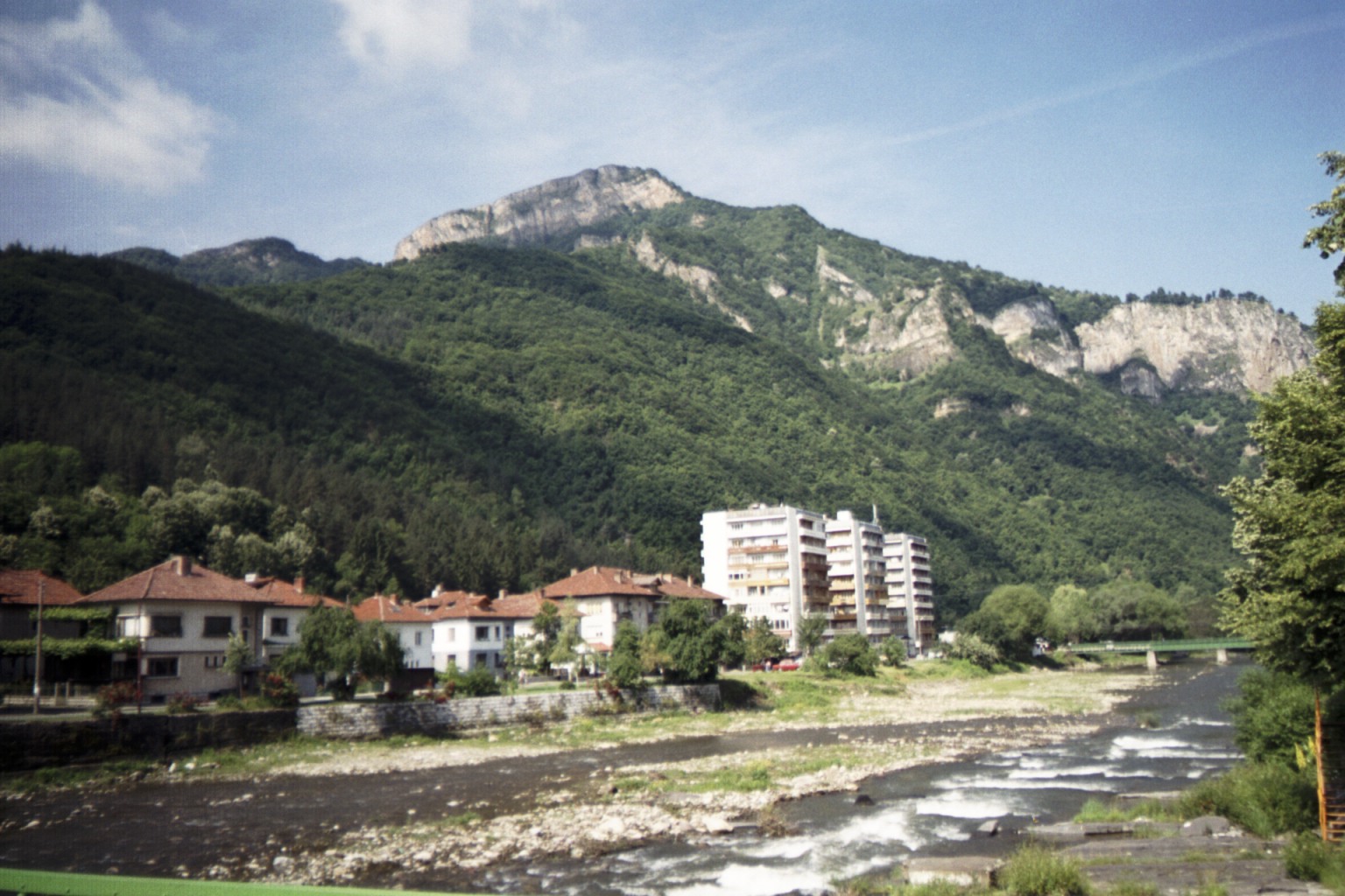
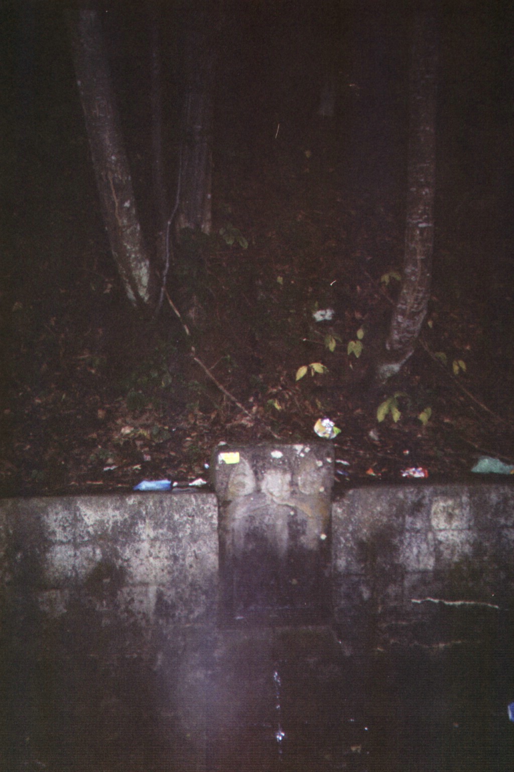
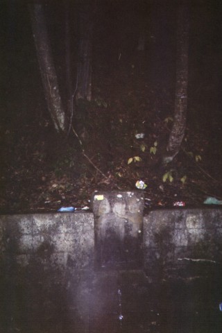
Mountain streams run right through towns

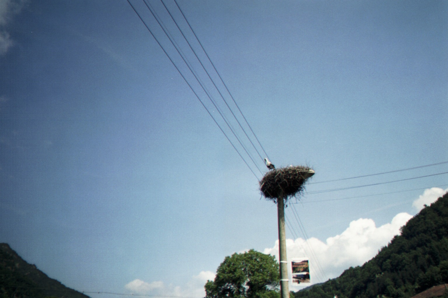
Storks
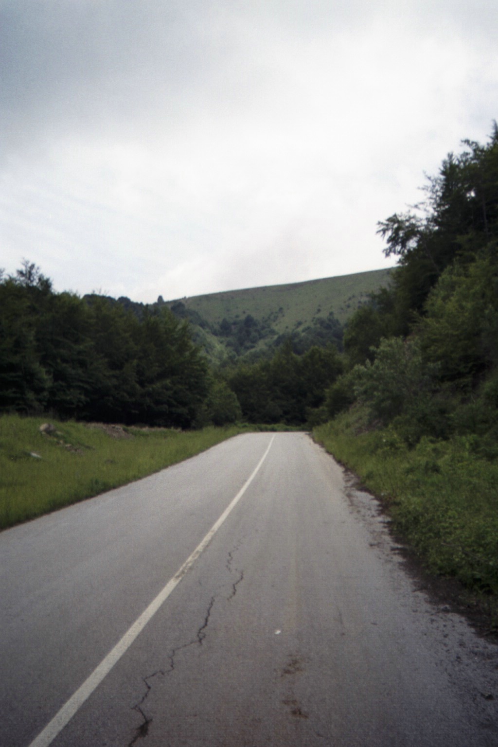
Potholes - yes, there are lots of potholes in Bulgaria. Most of them are not wheel-wreckers though - the rough ones reminded me of the type you'd expect in a neglected state park. Some of them seemed like abandoned roads. Often I'd look at the road, and then at the cue sheet and think, "If it wasn't for the cue sheet, I wouldn't expect THAT road to continue for another 5km, yes I'm to follow it for 50km!". More than one Bulgarian has told me that "All Roads in Bulgaria are paved" and I'm inclined to believe that - the only unpaved sections of road I recall were in England. There were many miles of perfectly smooth surface, but then you'd run into bad patches, mostly in villages or at the top of the mountains. I had feared plunging down a mountain road in the dark and being unable to avoid a crater, but that never happened (watch that one grate though! Lesson: pay close attention to the cue sheet.).

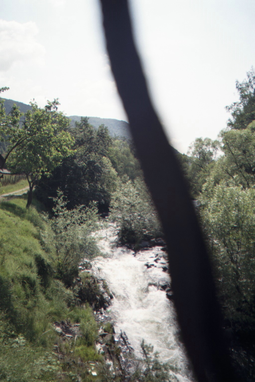
Fresh water rushing down from the mountains (And camera strap!)
Chavdar Chernikov

Docho
Fill your water bottle! This is NOT a night scene - just a lot of tree cover!
No Dupkas here, just smooth road!
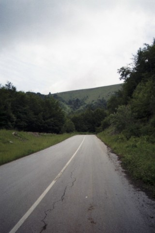
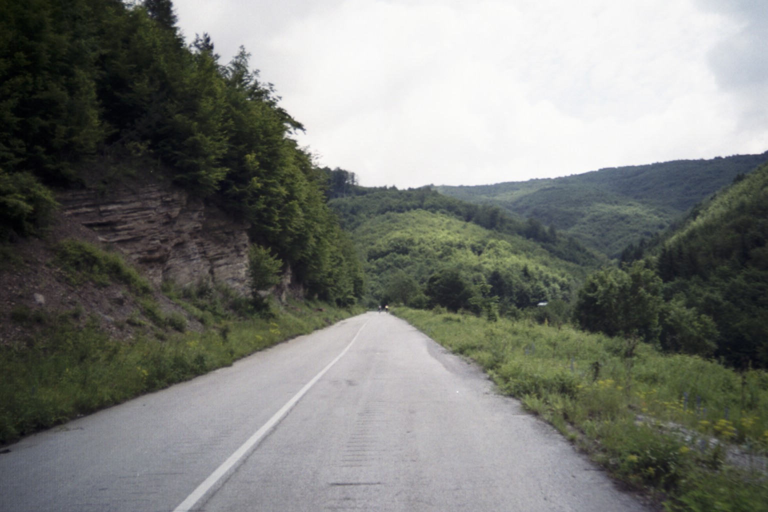
Get ready for a descent!
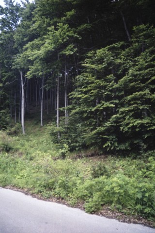
A stand of Birch trees
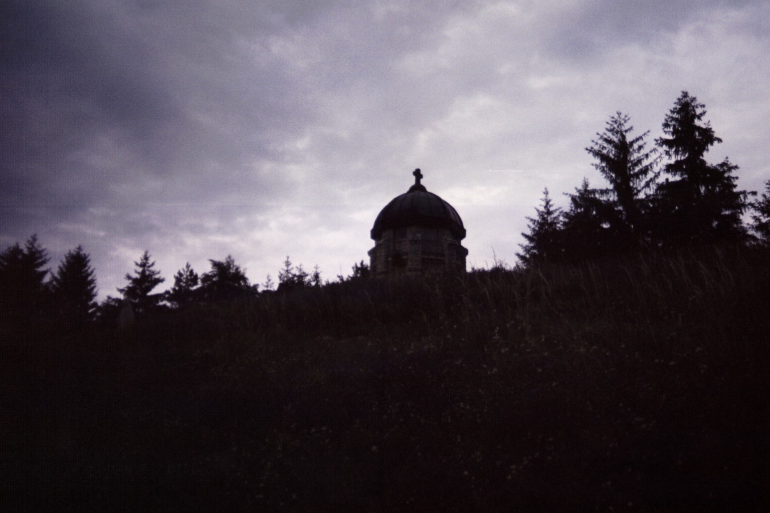
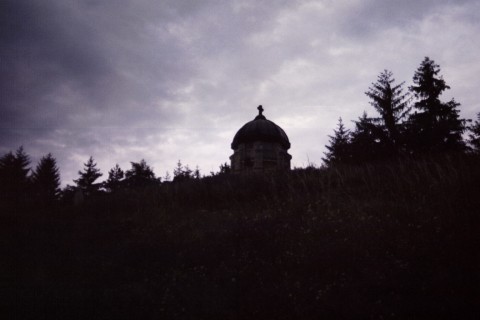
Mountain Vila (or "ВИЛА")
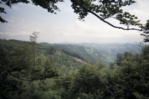
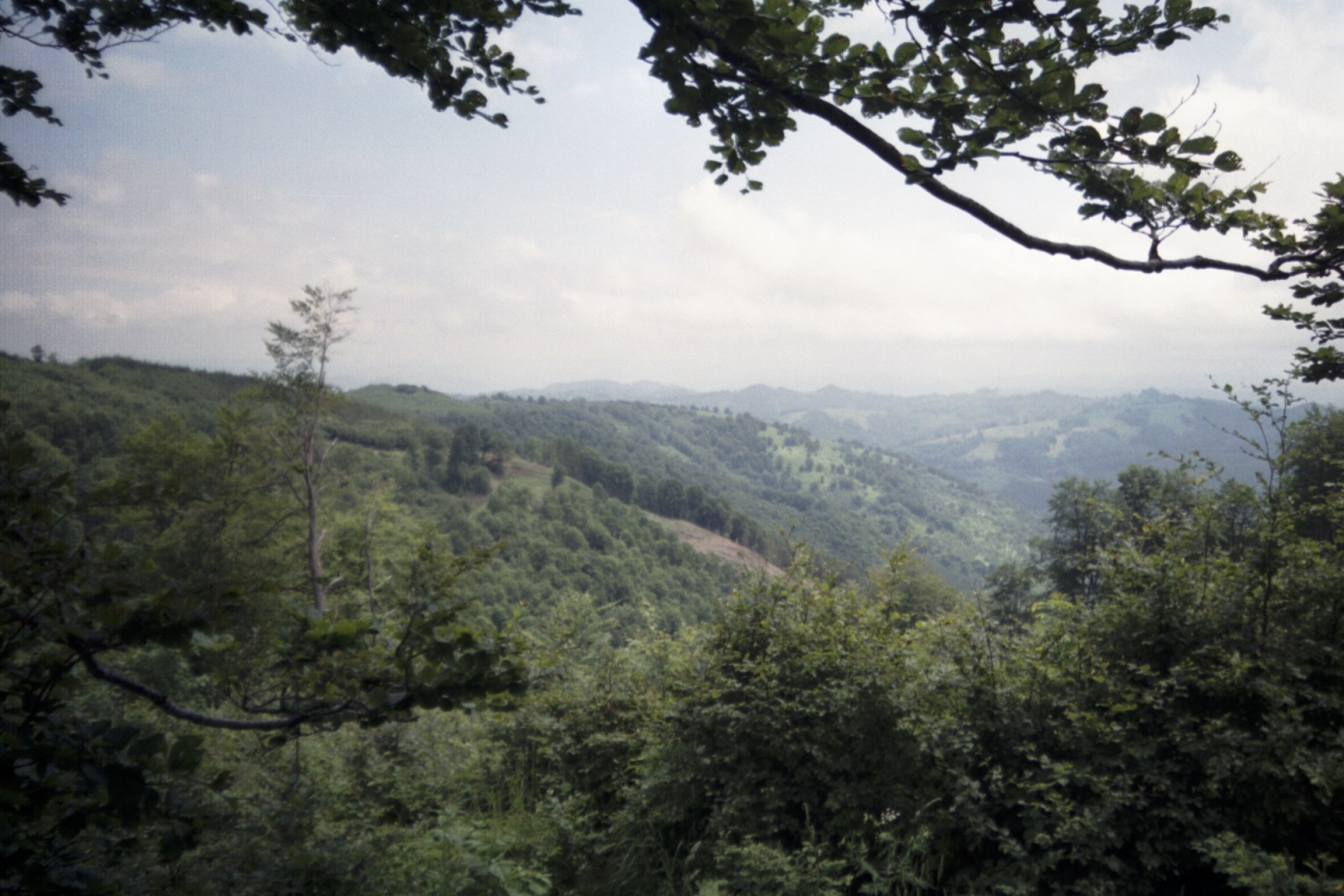
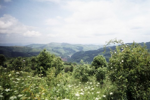
The View
After Ribaritsa ("РИБАРИЦЯ"), there's a 9% climb up to 1176 meters, then we drop 500 meters and...oh no!...Iron drainage grating across the road with the holes going the "wrong way" for cyclists! Luckily they don't catch my wheel. I've slowed, so I go ahead and stop to look at the cue sheet - Doh! Right there on the cue sheet was my warning: "Attention 2 Grills!!! at city limit sign" I really should pay more attention.
Into the town of Troyan ("ТРа�Н") - beautiful town - I stop to check my cue sheet to find the control when Mitko spots me from across the plaza. He calls out and waves and I join him for a walk to the control. We walk across the plaza...down the street...these guys really don't mind walking! Too much walking for me, I have to get on my bike and roll along. He asks if I need a mechanic for my wheel, but I think it's okay. He offers a spare wheel he has, but it's seven-speed and my chain is nine-speed. I try it anyway, but it skips way too much. Mousaka, bread and lemonade for lunch and I'm back on my way.
There's several quick turns (on this ride, two turns within 10km is a lot!) and I'm not sure I hit them all right. Here's Mitko again checking up on me. I feel a little less embarrassed when I realize he also has to stop and ask a local about the directions. Later I understand that where the cue sheet says "<- Cevlievo 34", I need to look for a road sign that says EXACTLY that, i.e. the road sign that indicates "turn left and go 34km to get to Cevlievo".
Down to the village, then over the next mountain!
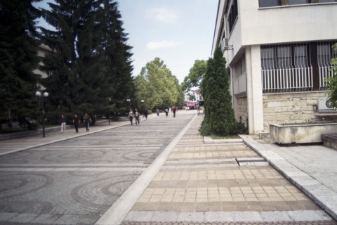
Plaza, Troyan I think
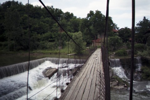
No, this suspension bridge is not part of the route!
Cruising along, but I HAD TO turn back to get this photo!

It's not ALL hills!
Goats, in the middle of Cevlievo
Out for a walk
They find an English speaker, who asks me, "Do you know where the Center is?"
"Um, I'm not from around here..."
(Every town here has an official "Tcenter" indicated by official signs.)
They point me in the right direction, farther up the road, I ask a couple of girls for directions - they don't know, but after they've gone a couple of boys who walked by earlier wander back to see what's up. They're surprised and happy to meet a traveler from so far away and point me off in the correct direction. The town gets denser and livelier as I climb up the hill. Suddenly Mitko steps out of the crowd clapping his hands and congratulating me on completing the first day.
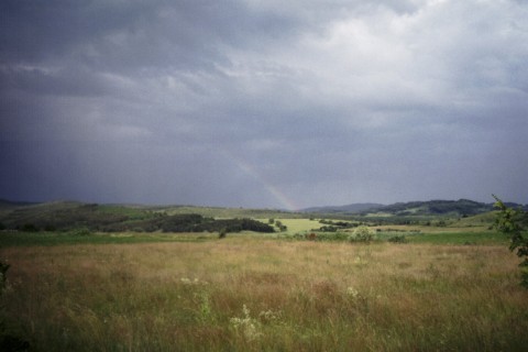
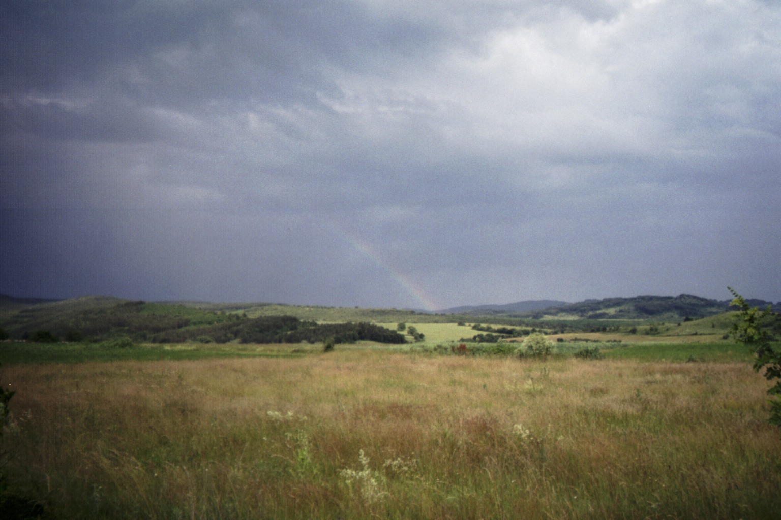
Rainbow
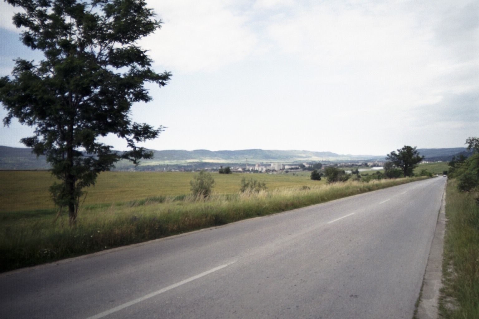
On the highway toward Veliko Turnovo
I come to a town and even though it's about midnight there's still people out waking and kids riding bikes. A youngster on a bike helps me out.
"You mean the stone bridge?"
"Yeah, sure, any bridge."
He directs me and sure enough I'm soon crossing an ancient one lane stone bridge - lots of Frogs in the water below - I thought the Yantra would be bigger though...maybe this is just a creek feeding into the Yantra? I see electric lights in the air ahead - maybe a bridge? Maybe a shipping facility? My eyes are tired and I don't exactly what I'm looking at. I pass through some industrial yards and start climbing. A "wild" dog snarls, but these "wild" dogs are no worse than the "domestic" dogs at home. At the top of this climb is an all night gas station, where all the employees and some of the customers end up gathering around to see the foreigner biking across the country in the middle of the night. They tell me there's hotels in V. Turnovo, but I explain I'm only passing through Draganovo (ДРАГа�а�� on my way to Popovo (Па�а�� and then I'll rest at Isperih before continuing. They fill my water bottle and I buy a road map and get directions. The explain to me that the town I'm asking about is really a village. A young man and his girlfriend dressed up for a night out have me follow their car to get me back on course. I get right behind them and wonder if they're trying to see how fast I can go. I'm having fun, hanging on, and trying to go as fast as I can while not hitting any Dupkas. After several turns that I'd have never found on my own, they point me off with instructions to continue some kilometers across and out of town, go under the overpass, turn right, then over the overpass toward the left.
When I get to the overpass, I pull out my flashlight and start trying to reconcile the instructions with my cue sheet. Two guys inside a commercial building see me, come out with flashlights and confirm. I stop again when the road "Y"s near a pub. Some folks at a table outside the pub help me with directions and again suggest I go back to V. Turnovo because I won't find a place to sleep around Draganovo, but I insist that I need to continue through Popovo to Isperih. They concede that at Popovo I can probably find a hotel.
I come to a small town where I need to make a turn. It's way after midnight, but there's still pubs open with people sitting at tables in the cool open air. I see TV's with the football game. I pull into a closed but well-lit service station to look at the cue and map. A guy walks over form the pub to help me out. I'm not sure, but I think he may have offered me a place to sleep - I probably should've took him up on that. Now I'm off climbing toward those "Ethnic Turkish Villages" on page four - the ones I'd been looking for when I got my pages mixed up. It's getting late, it's dark, the road looks like a National Park Service road and the cue sheet says "Wild Animals". Wild Animals? Dogs? Wolves? Bear? I jump a little anytime I hear a rustle in the bushes but I see no animals. It seems like I pass several lakes, could I be going in circles? I hear lots of frogs - maybe Lazar is playing a joke on me - maybe the "Wild Animals" are wild frogs! Eventually, I feel I have to rest. I find another closed, but well-lit service station, lie down and close my eyes.
I awake with a start some time later, but it's still quiet, dark and cool out. I decide I better move on. Next, I try to lie down on a bus stop bench, but neighboring dogs get too excited and I have to move on before I alarm somebody. Eventually I reach the main road to Popovo. The main road - there should be some diner or all night service station or maybe even a hotel here right? Ooops, this main road isn't all that big. I settle in for a little longer on a bus stop bench, but I'm wary that the people who use this bench are probably early risers who will be along soon as dawn is approaching. Sure enough a pickup truck approaches from a side road, shuts off it's lights and engine and I can hear two guys talking, so I move on. I find a Bistro and put my head down, but the clerk is inside getting ready to open and she advises me to move on to Popovo. Okay, Popovo it is.
Is this Popovo? A larger highway crosses here and there appears to be just some truck stops. I check the map. Popovo might be just a bit more east. Hey, I smell breakfast cooking - there must be a diner down there! I go back, but find no diner. The guy behind the window at the gas station pauses a long time when I ask if it's okay if I lay down in the grass, so I tell him "Never mind, I'm going to Popovo".
Ah here it is! But Popovo is quiet at 4am. I think for the first time I'm in a place where nobody else is up and about. There's some nice park benches along the main street, but I suspect the town will be coming to life soon and may not take kindly to a strange bearded vagrant sleeping on the bench in front of town hall. Hey, is this a hotel? A tall dull gray "Soviet era" building. Inside, though I can barely keep my eyes open, the desk lady takes the paperwork - completing the police registration forms - very seriously. Old Soviet bureaucratic habits are hard to break (or is it the new "Total Information Awareness"?). She's searching my passport for my "EGF" number or something like that. I have no idea. Eventually she comes up with something satisfactory to write in that space, softens, then unlocks an extra meeting room to allow me put my bike away and gives me the keys to a fourth floor room with two single beds and a shower.
Ah, beds are good.
Z


|