 Bay to the Beach

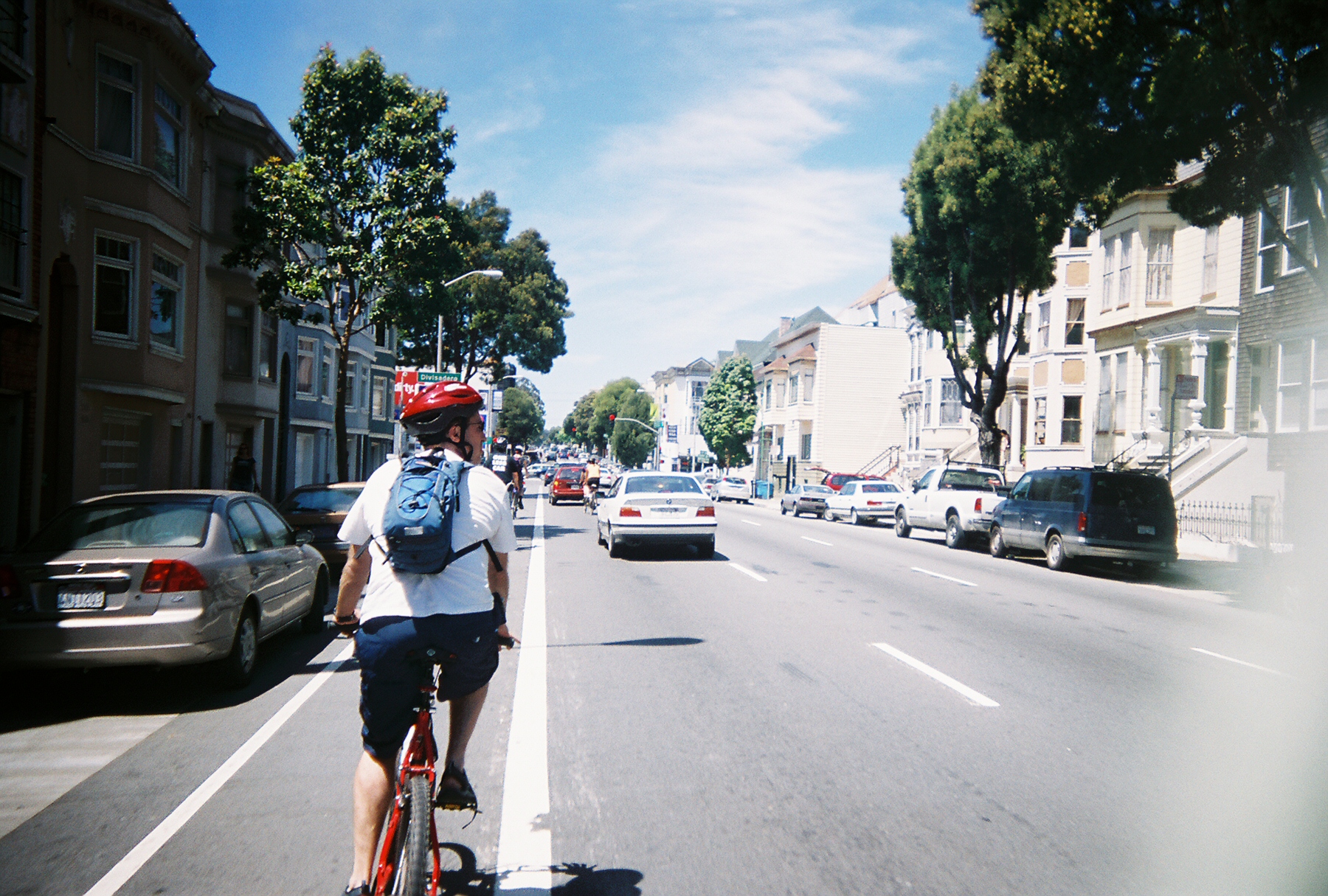
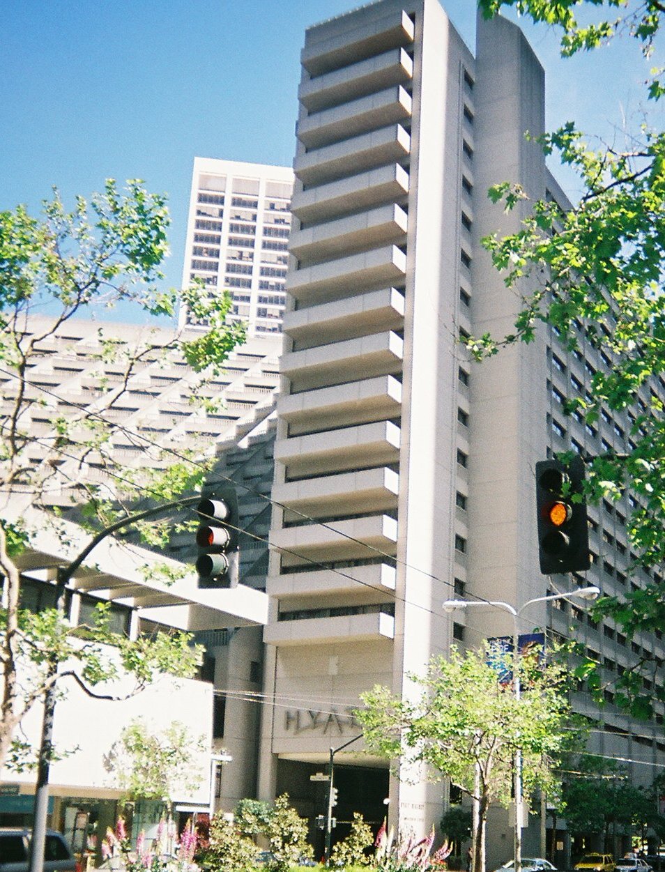 Cycling west on Market St from the Ferry Station on the Embarcadero,
the first neighborhood you hit is San Francisco's "Financial District".
Before the 1989 earthquake the Embarcadero was a hideous elevated freeway.
Now it's got bike paths and great tourist appeal.
Among the trams, pedicabs and tourists on rental bikes you see lots of local recreational cyclists tooling along the Embarcadero, out to the Golden Gate Bridge to stomp the Marin Headlands around Sausalito, Tiburon and beyond.
Cycling west on Market St from the Ferry Station on the Embarcadero,
the first neighborhood you hit is San Francisco's "Financial District".
Before the 1989 earthquake the Embarcadero was a hideous elevated freeway.
Now it's got bike paths and great tourist appeal.
Among the trams, pedicabs and tourists on rental bikes you see lots of local recreational cyclists tooling along the Embarcadero, out to the Golden Gate Bridge to stomp the Marin Headlands around Sausalito, Tiburon and beyond.
 "Bay to the Beach Preview & Survey Ride"
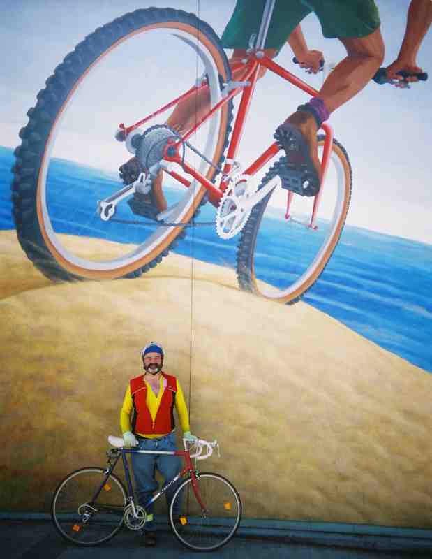 Me, and a detail of Mona Caron's Duboce Bikeway Mural.
Within one block, the mural compresses the length of the "Bay to Beach" bike route, including Duboce Ave and the mural itself.
This detail is from the "Beach" end of the mural.
Me, and a detail of Mona Caron's Duboce Bikeway Mural.
Within one block, the mural compresses the length of the "Bay to Beach" bike route, including Duboce Ave and the mural itself.
This detail is from the "Beach" end of the mural.
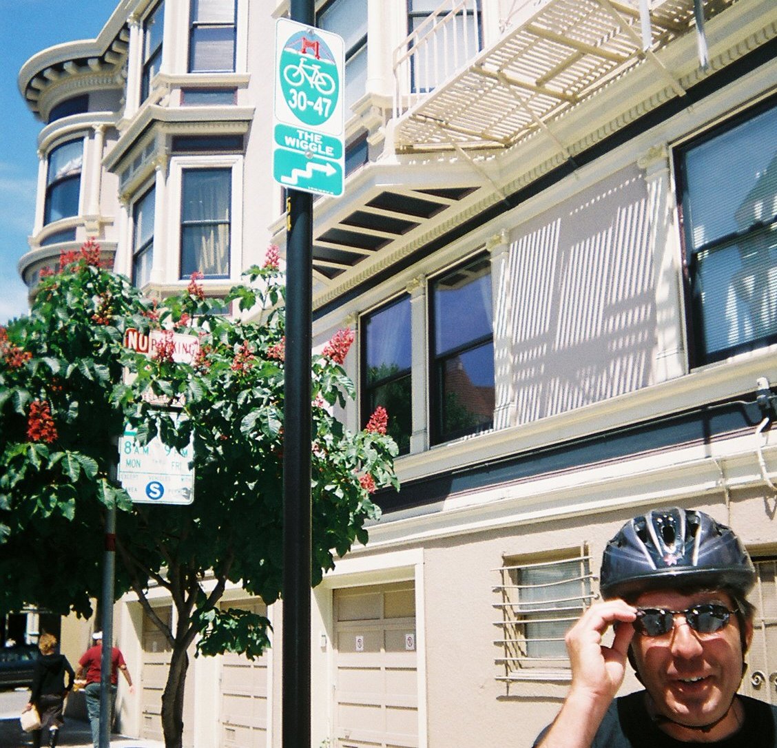 Andy proudly points out a Just-in-time for "Bike to Work Week" improvement—Signage for "The Wiggle".
The icon of the Golden Gate Bridge at the top indicates that this route takes you to or from the GG Bridge
(Note that there's no distinction between "from" and "to".)
Andy proudly points out a Just-in-time for "Bike to Work Week" improvement—Signage for "The Wiggle".
The icon of the Golden Gate Bridge at the top indicates that this route takes you to or from the GG Bridge
(Note that there's no distinction between "from" and "to".)
 Follow the Sharrows—a road marking for roads too narrow for side-by-side passage of an automobile and a bicycle.
 A left-side bike lane on Fell St.—I don't know why, except that the entrance to the pan-handle is on the left (ahead).
 A two-way greenway in the panhandle parallel to Fell St..
A potential hazard from cars turning left from Fell St. conflicting with cyclists and pedestrians heading south out of the shadows.
A two-way greenway in the panhandle parallel to Fell St..
A potential hazard from cars turning left from Fell St. conflicting with cyclists and pedestrians heading south out of the shadows.
 Cyclists entering Golden Gate Park from the Panhandle need to first get onto the RIGHT side of Kezar Dr.
To facilitate this, a short stub of greenway at Shrader St (affectionately termed the "Shrader Valve") exits the Panhandle greenway.
Andy discusses ideas to indicate this to cyclists who tend to follow the panhandle greenway and end up stuck on the wrong side of Kezar at Stanyan.
Cyclists entering Golden Gate Park from the Panhandle need to first get onto the RIGHT side of Kezar Dr.
To facilitate this, a short stub of greenway at Shrader St (affectionately termed the "Shrader Valve") exits the Panhandle greenway.
Andy discusses ideas to indicate this to cyclists who tend to follow the panhandle greenway and end up stuck on the wrong side of Kezar at Stanyan.
 Approaching the Golden Gate Park entrance. Zoom-in and note the cyclists in GGP (right) and the Panhandle (left).
We are positioned to enter GGP thanks to the "Shrader Valve".
Approaching the Golden Gate Park entrance. Zoom-in and note the cyclists in GGP (right) and the Panhandle (left).
We are positioned to enter GGP thanks to the "Shrader Valve".
 JFK Drive—Car-free on Sundays.
 "Denver" in the left turn lane:
Left turning cyclists should position themselves to the left, rather than cut across right-turning traffic from the bike lane.
"Denver" in the left turn lane:
Left turning cyclists should position themselves to the left, rather than cut across right-turning traffic from the bike lane.
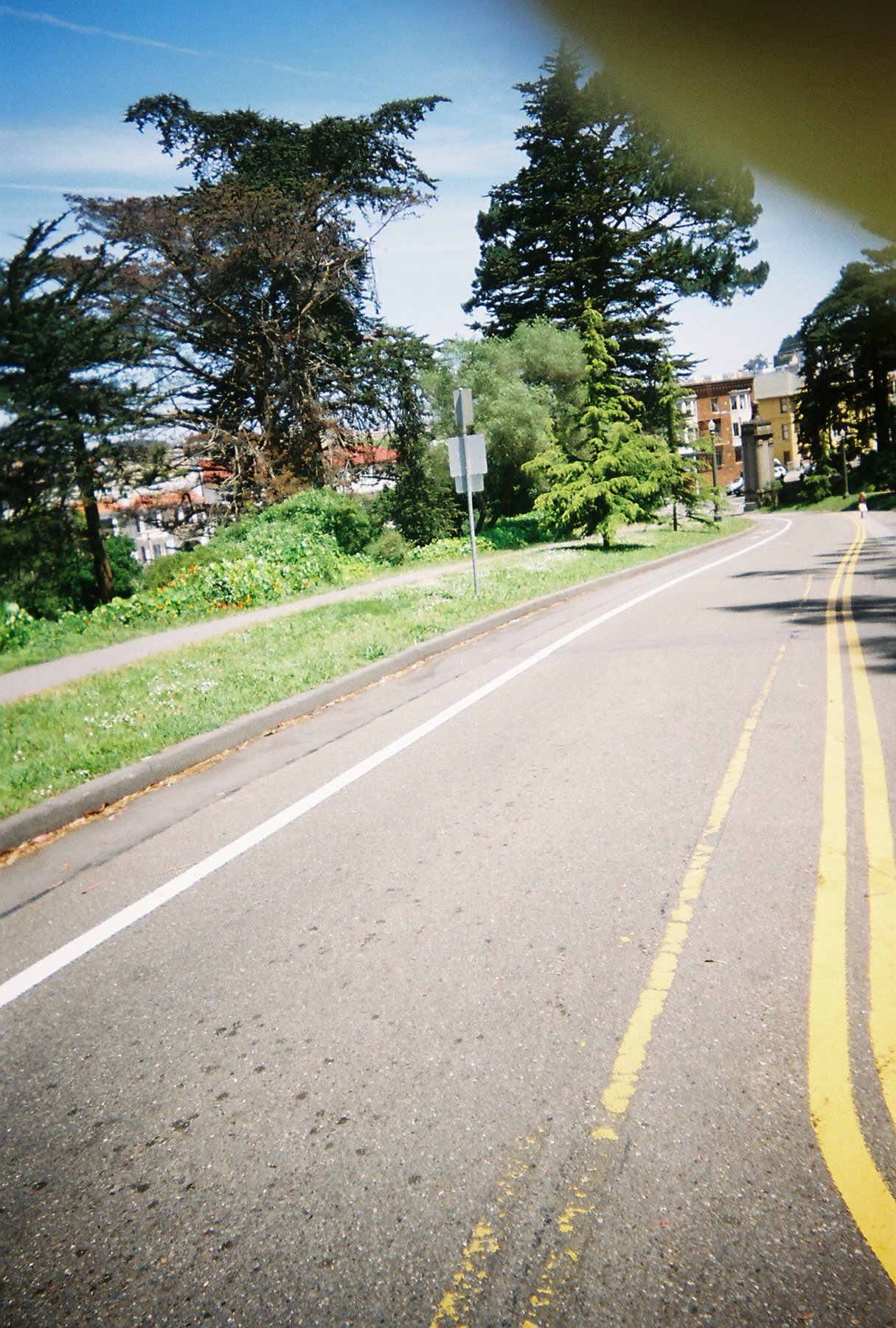 A slow climbing lane for cyclists entering the park from Arguello Blvd (and Velo Rouge Café).
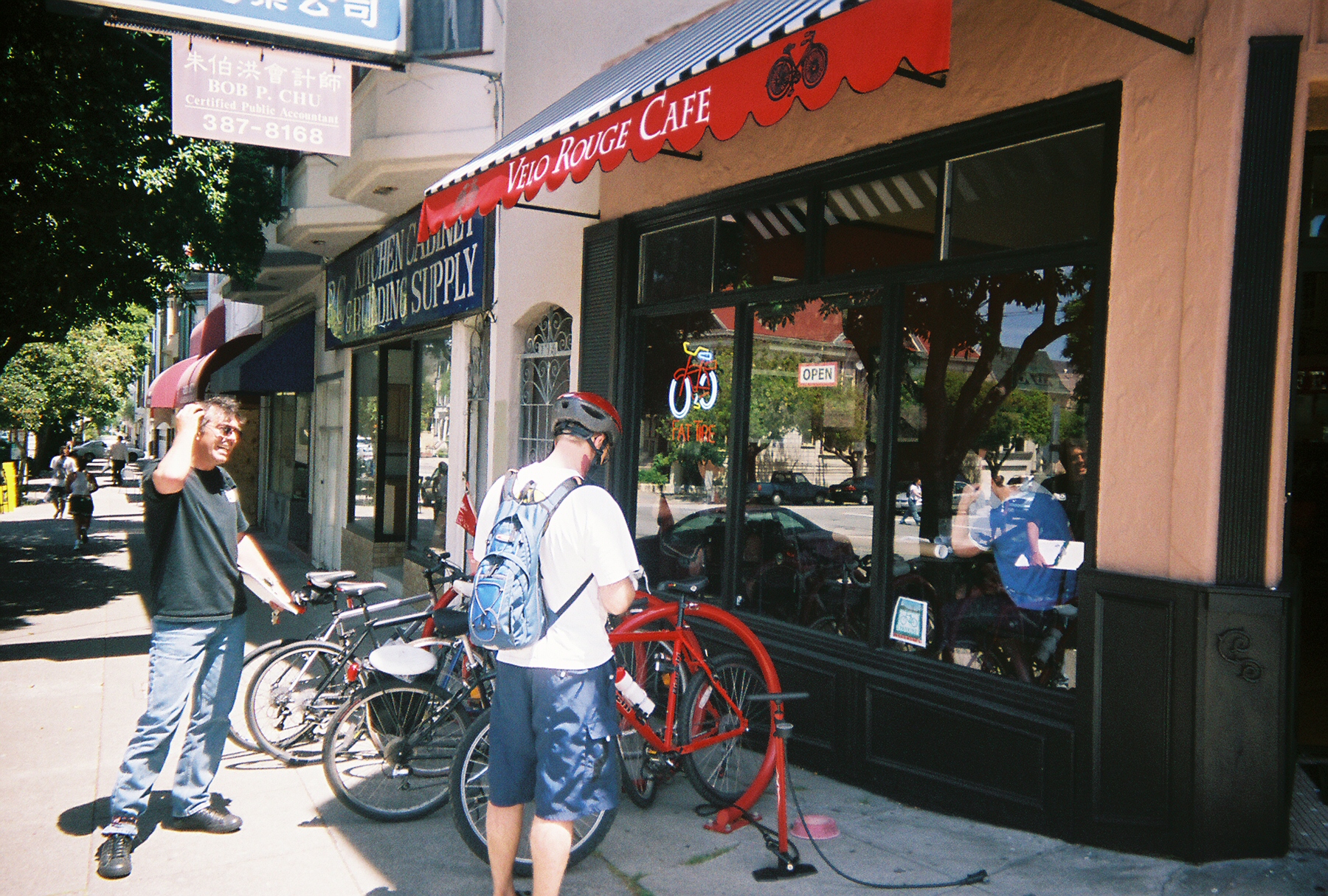 Velo Rouge Café (Arguello and McAllister)—note the public access pump!
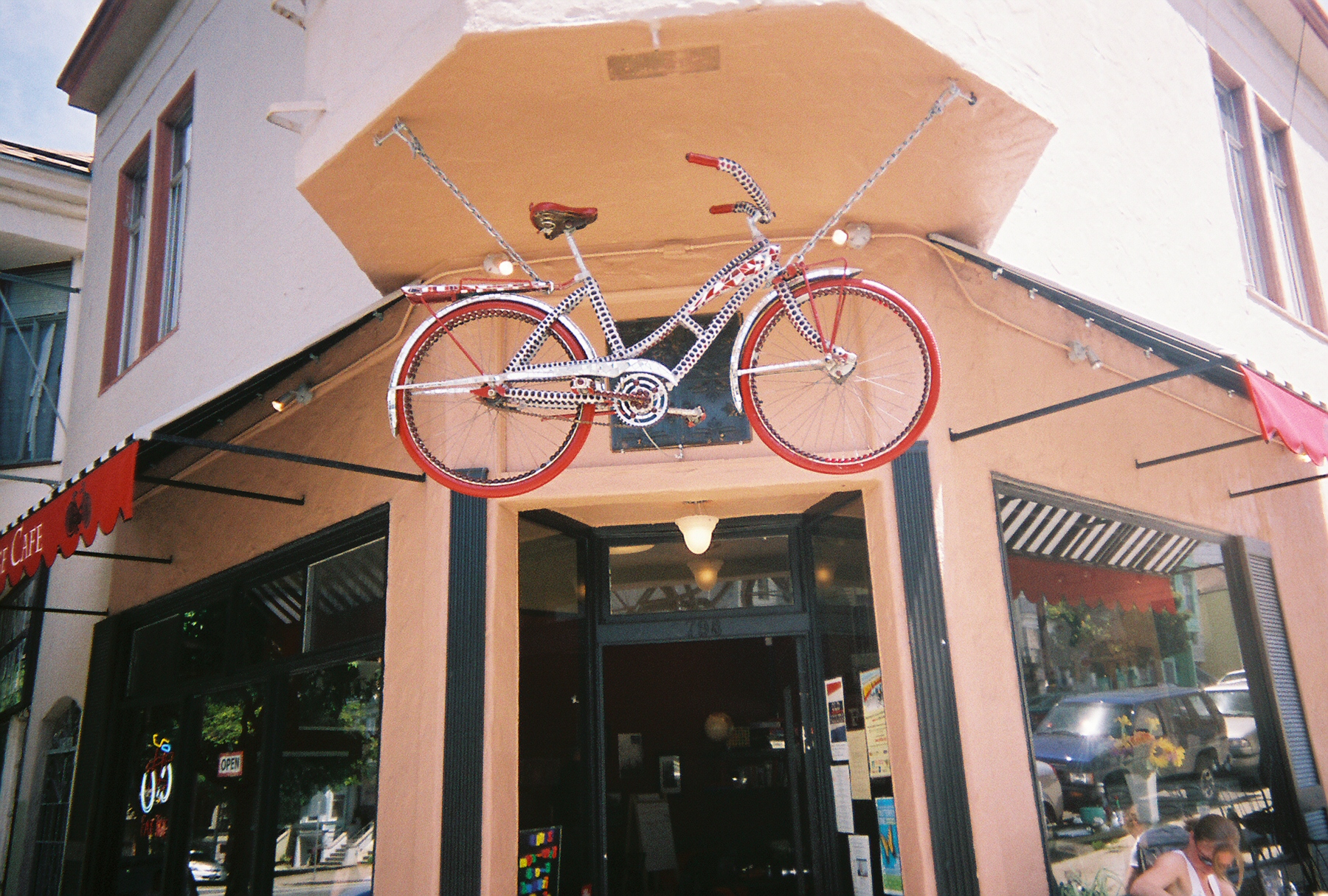 Entrance to the Velo Rouge Café—reminds me of PBP!
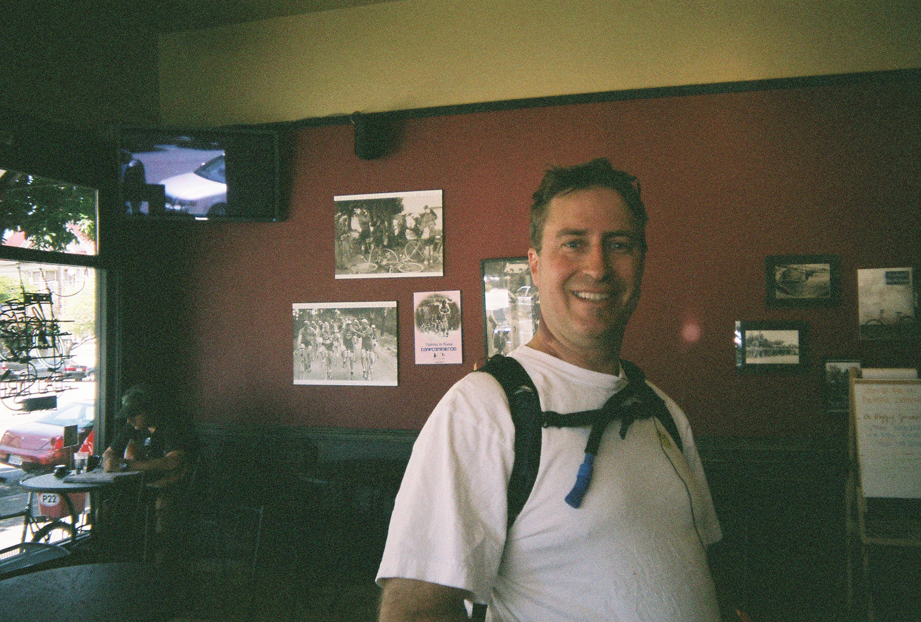 Inside le Velo Rouge Café.
I thought I'd pick up a San Francisco Bike Map here, but no—it turns out that, unlike most places, the city of San Francisco does NOT print free maps.
Inside le Velo Rouge Café.
I thought I'd pick up a San Francisco Bike Map here, but no—it turns out that, unlike most places, the city of San Francisco does NOT print free maps.
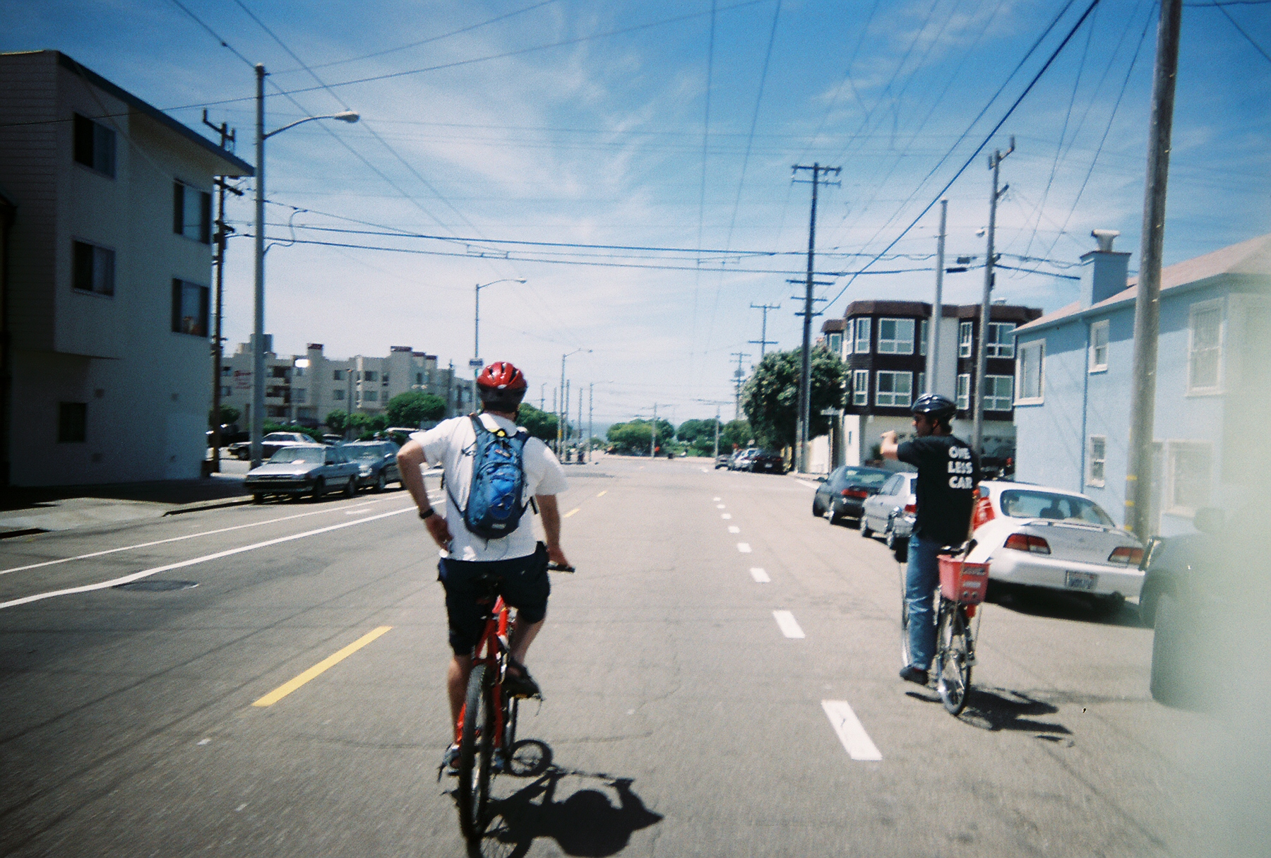 Approaching (Pacific) Ocean Beach through the neighborhood called "The Richmond", which is not to be confused with the city of Richmond (east of the bay).
As you can see, there's not much tree cover, but the weather is quite cool in San Francisco.
This area was originally sand dunes but was developed in the reconstruction after the 1906 quake and fire.
After WW-II, Richmond became the "New Chinatown" and today is largely Russian / East European.
Approaching (Pacific) Ocean Beach through the neighborhood called "The Richmond", which is not to be confused with the city of Richmond (east of the bay).
As you can see, there's not much tree cover, but the weather is quite cool in San Francisco.
This area was originally sand dunes but was developed in the reconstruction after the 1906 quake and fire.
After WW-II, Richmond became the "New Chinatown" and today is largely Russian / East European.
 Bike Route signs on the Great Highway
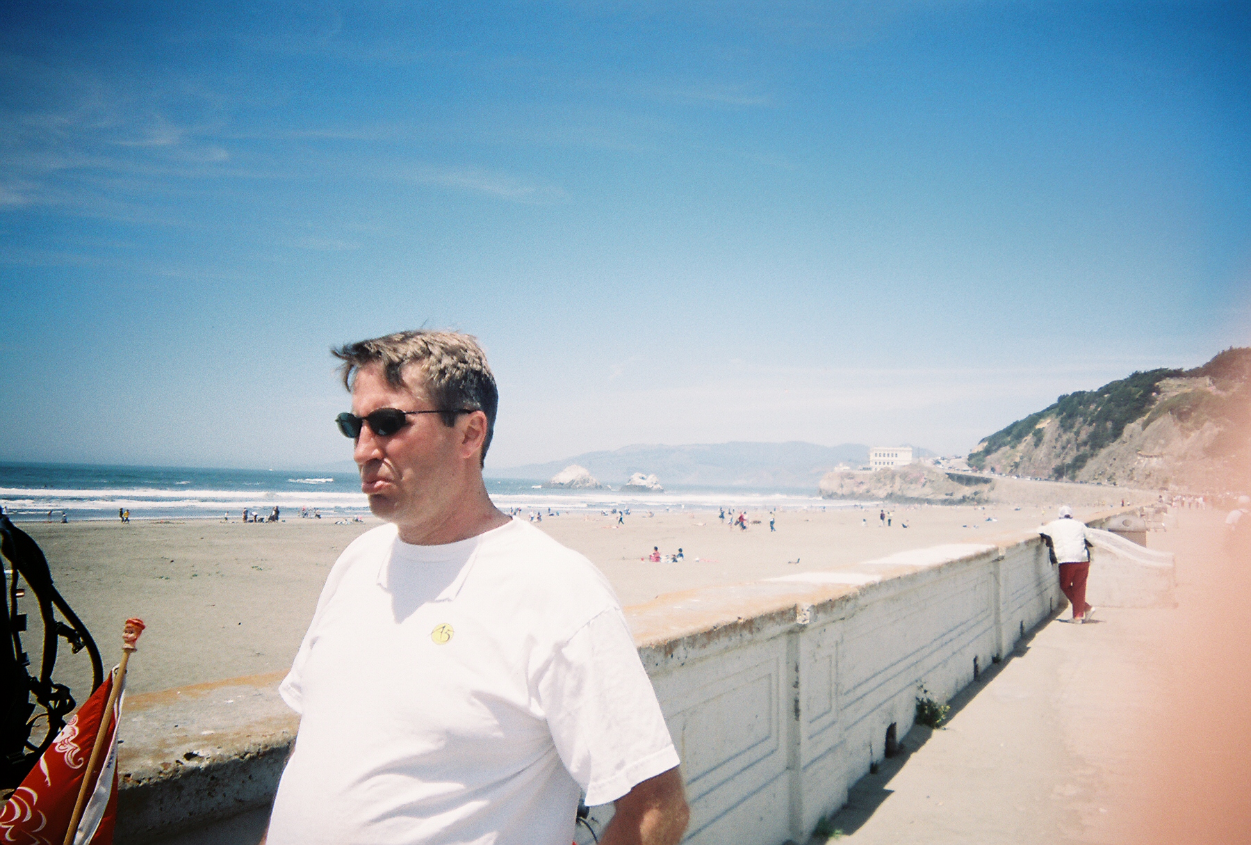 Ocean Beach—Note "Seal Rock" and Adolph Sutro's grand "The Cliff House" in the background (now operated by the National Park Service).
The hill is "Sutro Heights", from which descends Clement St, through the heart of "New Chinatown".
Also note that the Golden Gate Bridge is NOT at the Golden Gate Park.
The bridge is at the Presidio, to the north.
The name "Golden Gate" refers to the strait, which the bridge spans.
Ocean Beach—Note "Seal Rock" and Adolph Sutro's grand "The Cliff House" in the background (now operated by the National Park Service).
The hill is "Sutro Heights", from which descends Clement St, through the heart of "New Chinatown".
Also note that the Golden Gate Bridge is NOT at the Golden Gate Park.
The bridge is at the Presidio, to the north.
The name "Golden Gate" refers to the strait, which the bridge spans.
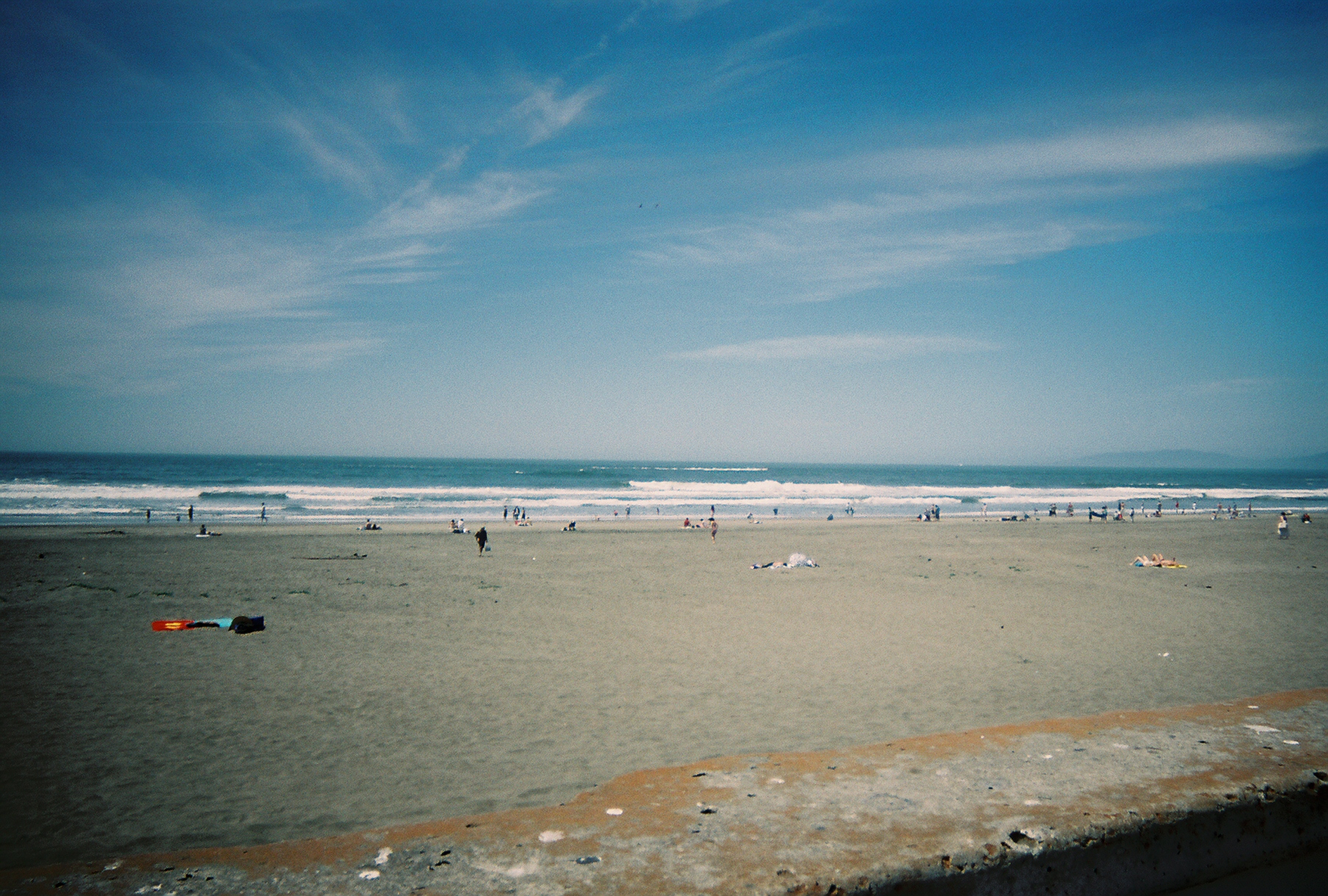 Ocean beach—due to the clockwise circulation of ocean currents, the California coastal waters are much cooler than those off the Carolinas.
Bay to the Beach